
AGVOLUTION GmbH
Booth number: 455C
agvolution.com/
About us
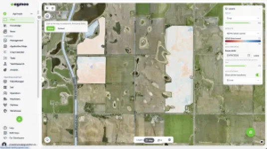
Agvolution GmbH Agvolution – Born in research. Built for the field. Rooted in research at the Universities of Göttingen and Erlangen, we have been developing AI-based software to protect yields and resources alike since 2020. With agmeo, we accompany farmers through the season: it connects weather, soil, satellite, and market data, helping farmers make the right call at the right time. climavi adds precise soil and weather data in real time. Agmeo finds accordingly to Liebig's Minimum principle the limiting yield factor of each field zone by providing a full benchmarking, economic and crop related key performance indicators —making it both economically viable and ecologically sustainable.
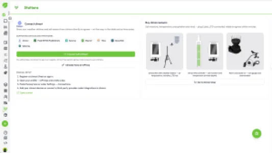
Agmeo is developed for independent farmers, consultants, and agricultural companies, which operates machines, stores local knowledge and integrates with all machines, climate-smart IoT sensor systems, soil data and existing farm-software.
Address
Geismar Landstr. 11
37083 Goettingen
Germany
E-mail: sales@agvolution.com
Phone: +49 162 3079122
Internet: www.agvolution.com
Contact person:
Hinrich Brase
E-mail: h.brase@agvolution.com
Products & Services
agmeo is an AI decision-support software covering the complete crop-production stack — one method, any crop, any country. More than 1,000,000 hectares are managed on the platform today.
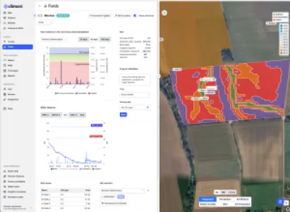
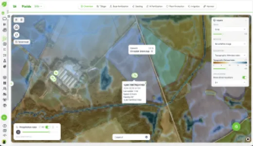
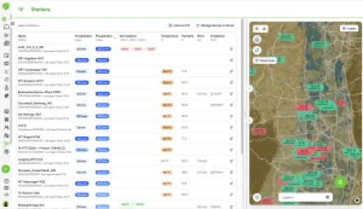
agmeo fuses soil, satellite and product data with roughly 200,000 public weather stations worldwide and machine telemetry pulled directly from the John Deere Operations Center instead of typed in by the operator. It applies Liebig's Law of the Minimum zone by zone: which single factor is actually capping yield in this part of this field, and what does correcting it return.
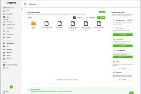
Candidate measures are compared side by side by agronomic effect, economic return and implementation effort, so the decision is made before the season rather than reconstructed after it. Results carry uncertainty bands instead of false precision, and field records stay consistent across years, operators and equipment changes. All major farm-management systems are supported, plus AI agent integration.
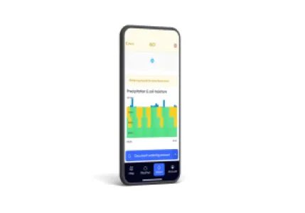
Outputs: nitrogen and irrigation recommendations, variable-rate prescriptions, zone benchmarking and economic KPIs per acre.
climavi (optional add-on) — patented, solar-powered soil probes, 4,200 in the field, measuring soil moisture and temperature at three depths every 15 minutes. No trenching, no mains power, no battery changes. At defined observation points they ground-truth agmeo's irrigation scheduling, nitrogen mineralisation and disease models.
Services: model calibration to local crops and soils, sensor network design, FMIS and API integration, and a partner program for equipment dealers, agronomy retailers and independent agronomists.
agmeo AI - Agents, Automation, Decision Support for Nitrogen, Water and Margin per Acre
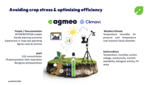
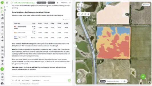
agmeo is the decision layer. It fuses climavi ground-truth measurements with satellite imagery, soil data, weather forecasts and machine and farm-software records, then applies Liebig's Law of the Minimum zone by zone: which single factor is actually capping yield in this part of this field — water, nitrogen or something else — and what does correcting it return per acre.
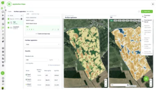
Outputs are built to be acted on, not framed: variable-rate nitrogen and seeding prescriptions, irrigation scheduling and valve control, zone benchmarking against your own field history, and agronomic plus economic KPIs in dollars per acre.
Because every recommendation is checked against measured soil data, the model is corrected on your fields rather than on a regional average, and it improves each season.
For consultants and retailers agmeo runs multi-client: one platform, separate farm accounts, retained local agronomic knowledge. Grower data stays with the grower — no equipment-brand lock-in.


climavi — Patented IoT Soil Moisture and Microclimate Sensors
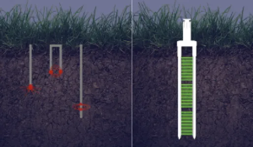
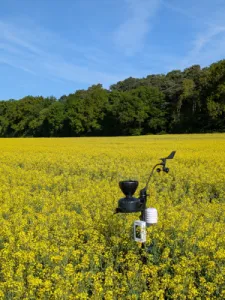
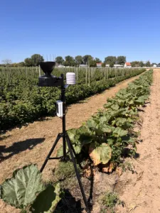
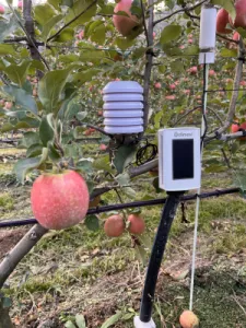
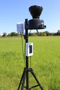
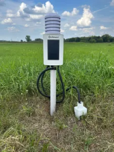
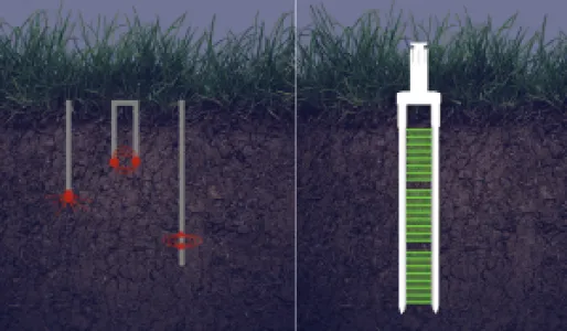
climavi is a patented, solar-powered wireless sensor designed to be installed once and left in the field. A single probe records soil moisture and soil temperature at three depths — the root-zone profile satellites cannot see — and transmits every 15 minutes to a compact receiver station several kilometres away. No trenching, no mains power, no scheduled battery change. Additional sensors for rainfall, wind, air temperature, humidity and radiation connect via SDI-12, so one station serves as a complete on-farm soil and weather reference.
In practice each unit becomes a defined observation point: a ground-truth station that confirms or corrects the irrigation and fertilization recommendation before water, fertilizer or diesel is committed. Sited by zone — knoll, mid-slope, depression — a handful of probes describe how an entire quarter section actually behaves, season after season.
Applications: dryland and irrigated field crops, irrigation scheduling, seeding and harvest timing, research plots, orchad trees and green spaces.